Carlo Günther · 26 October 2026
Satellite Imagery Captures Vegetation Pattern Evolution on Remote Southwestern Cliffs
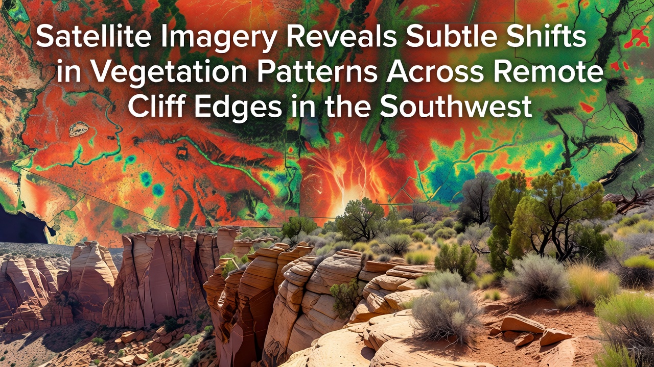
Data from multiple orbital platforms has documented gradual adjustments in plant distribution and density along isolated cliff margins throughout the American Southwest, with observations extending through October 2026 revealing consistent trends across several hundred kilometers of rugged terrain. Researchers at institutions tracking land cover have noted these modifications appear most pronounced on north-facing exposures where moisture retention differs from adjacent slopes, while south-facing sections display slower rates of change according to repeated Landsat and Sentinel acquisitions processed by the United States Geological Survey.
Monitoring Technology and Data Collection Methods
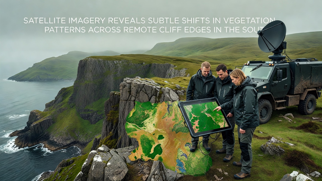
Multispectral sensors aboard satellites operated by NASA and the European Space Agency have supplied the primary datasets, with analysts combining visible, near-infrared, and shortwave infrared bands to calculate normalized difference vegetation index values at regular intervals. These calculations allow detection of biomass fluctuations that ground surveys in such inaccessible locations would struggle to capture at comparable scale, and teams have cross-referenced orbital readings with occasional drone verification flights where terrain permits safe access. Processing pipelines maintained by the USGS Earth Resources Observation and Science Center convert raw imagery into time-series maps that highlight areas experiencing either expansion or contraction of vegetative cover, and records now span more than fifteen years of consistent observation.
Climate records integrated with the vegetation indices indicate that shifts correlate wth documented variations in precipitation timing and prolonged dry intervals, although direct causation remains under continued study by multiple agencies. Observers note that certain drought-tolerant species appear to maintain presence while others recede, producing the subtle patchwork patterns visible from orbit.
Regional Findings Across Arizona and New Mexico Sites
Analyses focused on cliff systems in northern Arizona and western New Mexico have identified measurable declines in canopy cover within specific elevation bands, with reductions averaging between three and seven percent over the most recent monitoring window. These adjustments concentrate along edges where bedrock fractures intersect with shallow soil pockets, limiting root establishment during periods of reduced rainfall. In contrast, pockets of increased density have emerged in drainage lines that funnel occasional runoff, creating linear features that stand out against surrounding rock faces when viewed in composite imagery.
One study released in late 2026 compiled statistics from over forty individual cliff segments and found that transition zones between pinyon-juniper woodland and open rock exhibited the highest rates of alteration, while lower elevation desert scrub communities remained comparatively stable. Figures released through the USGS National Land Cover Database confirm these localized trends do not yet register as broad-scale biome shifts, yet the cumulative effect across remote areas contributes to updated habitat models used by wildlife agencies.
Ecological Implications and Cross-Regional Comparisons
Altered vegetation patterns influence soil stability and microhabitat availability for species adapted to cliff environments, prompting biologists to incorporate orbital data into long-term population assessments. Similar monitoring programs in other arid regions, including work coordinated through Australian research centers on comparable sandstone formations, have recorded parallel responses to extended drought cycles, suggesting the Southwest observations fit within wider global patterns documented by international satellite networks. Data sharing agreements between the USGS and counterpart agencies facilitate these comparisons, allowing standardized indices to track vegetation response across continents.
Continued acquisition schedules through the Landsat Next mission and Sentinel constellation expansions will extend the temporal depth of these records, providing higher temporal resolution for detecting seasonal anomalies that annual summaries might otherwise obscure. Analysts emphasize that the current magnitude of change remains within historical variability bounds established from earlier decades, although acceleration could alter that assessment in subsequent reporting periods.
Conclusion
Orbital monitoring has established a reliable baseline for tracking vegetation dynamics along remote Southwestern cliff margins, delivering objective measurements that complement limited field access. Integration of multi-agency datasets through October 2026 demonstrates measurable yet localized adjustments tied to climatic variables, with ongoing sensor deployments positioned to refine understanding of these processes in coming years. Such records support evidence-based management of fragile ecosystems without requiring extensive physical presence in challenging terrain.