Quinn Albrecht · 9 November 2026
Local Partnerships Advance Bluff Monitoring Innovations in Pacific Areas
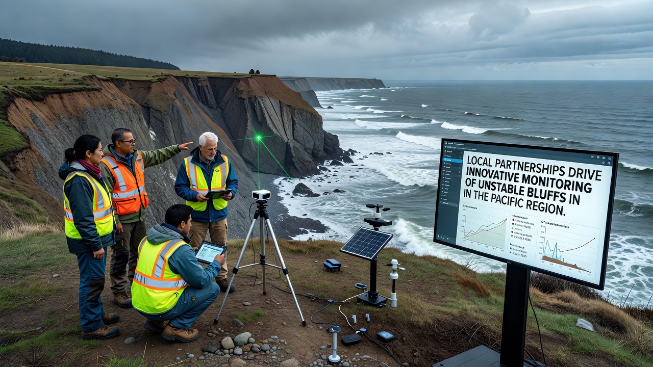
Community groups along the Pacific coastline have formed alliances with academic institutions and government agencies to develop monitoring systems for unstable bluffs, where shifting soils and rock faces create ongoing challenges for infrastructure and safety. These collaborations combine local knowledge of terrain conditions with technical tools such as ground sensors and data analytics platforms, allowing teams to detect early signs of movement before larger failures occur. Observers note that partnerships often begin when residents report visible cracks or vegetation shifts on bluff faces, prompting joint field assessments that draw on expertise from multiple organizations. Data from these efforts shows increased use of wireless tiltmeters and vibration detectors placed at key sites, which transmit readings in real time to shared databases accessible to all partners.Methods Used in Collaborative Monitoring Projects
Teams integrate several technologies rather than relying on single approaches, and researchers from regional universities contribute models that predict how rainfall and seismic activity affect bluff stability. For instance, one project near the Oregon coast combines soil moisture probes with weather station inputs to calculate risk levels during storm seasons, while similar setups in Washington state incorporate historical records of past slides to refine alert thresholds.
What's interesting is how these systems avoid duplicating efforts across borders, since Canadian geological surveys have shared protocols with U.S. counterparts on data formatting standards. Figures from joint reports indicate that coordinated monitoring reduced response times to detected movements by connecting community volunteers directly with emergency planners through mobile applications.
Case Examples from Pacific Bluff Sites
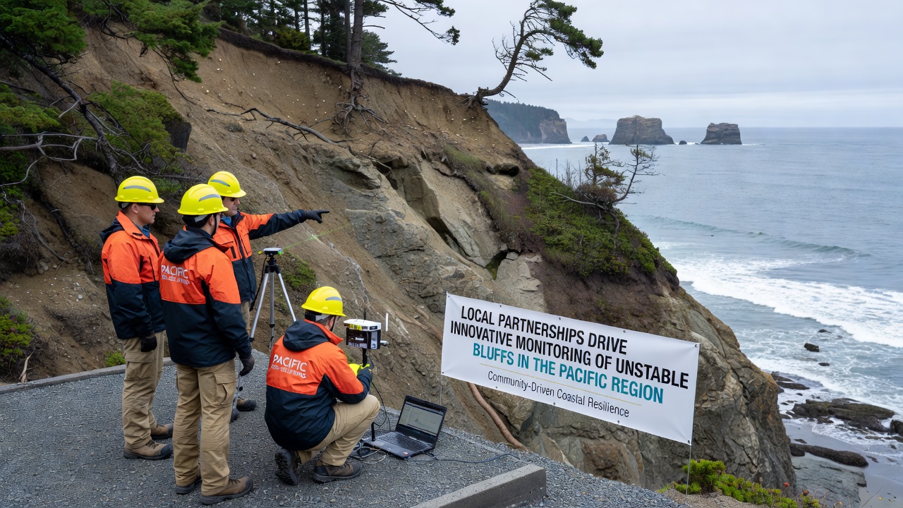
Take one initiative in Northern California where local tribes partnered with state environmental departments to install acoustic sensors that pick up subtle rock falls, feeding information into a central dashboard updated hourly. Studies found that this setup captured patterns missed by traditional visual inspections alone, leading to adjusted land use guidelines around high-risk zones. In November 2026, readings from these arrays prompted temporary road closures that prevented potential incidents during heavy precipitation events.
Another effort in British Columbia focuses on integrating satellite radar data with ground-based measurements, and partnerships here include contributions from forestry companies whose access roads cross bluff areas. According to USGS coastal hazards reports, such multi-source data improves accuracy when forecasting long-term erosion rates along similar Pacific shorelines.
Benefits Observed Across Partnership Networks
Communities involved report faster access to funding for stabilization measures once monitoring data demonstrates clear trends, and this evidence-based approach has supported grant applications to national science foundations. Experts have observed that shared training sessions for volunteers build local capacity, allowing residents to maintain equipment and interpret basic outputs without constant outside assistance.
Yet challenges remain, including the need to standardize data privacy across different jurisdictions and to secure ongoing maintenance budgets for remote sensor arrays. Research indicates that projects lasting beyond initial pilot phases often secure support through regional consortia that pool resources from multiple counties.
Future Directions for Pacific Bluff Tracking
Plans under discussion include expanding machine learning applications to process larger datasets from existing networks, while new partnerships explore integration with ocean buoy readings to account for wave impacts on bluff bases. Those who've studied these systems note that continued collaboration across academic, governmental, and community lines will determine how effectively monitoring scales to additional sites facing comparable instability risks.
Conclusion
Local partnerships have established practical frameworks for monitoring unstable bluffs across Pacific areas through combined use of sensors, data sharing, and joint analysis. Evidence from ongoing projects demonstrates measurable improvements in detection speed and response coordination, supported by contributions from diverse organizations that continue to refine these methods as conditions evolve.