Yves Hoffmann · 14 September 2026
Drone Surveys Map Changing Nesting Sites for Raptors in Pacific Northwest Bluffs
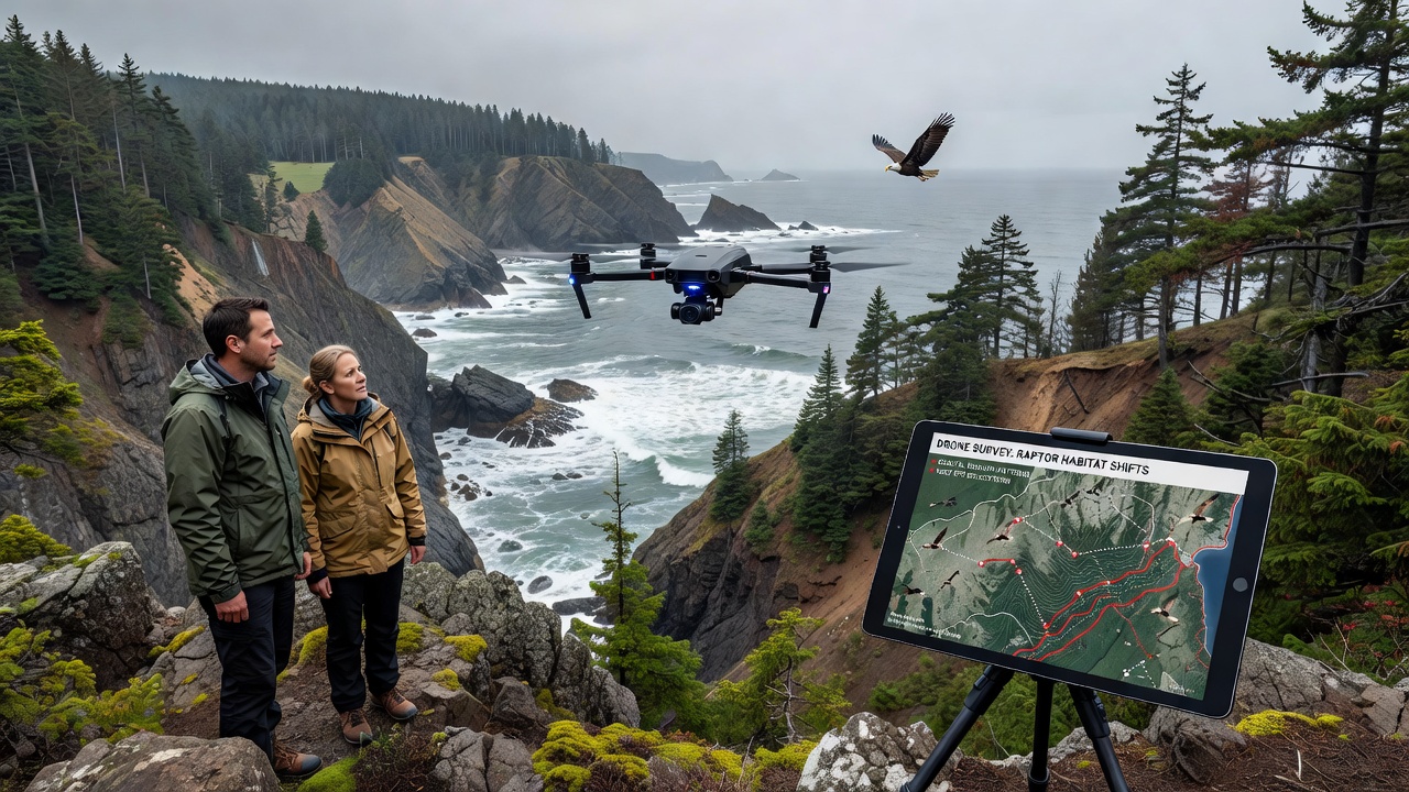
Researchers have deployed unmanned aerial systems across remote sections of the Cascade Range and Olympic Peninsula since early 2024, and these efforts continue to document adjustments in nesting patterns among species such as bald eagles, peregrine falcons, and red-tailed hawks. Data collected through repeated flights show that several traditional cliff ledges now host fewer active nests while adjacent slopes support new activity, a shift that aligns with documented changes in vegetation cover and rock stability along those bluffs.
Survey Methods and Equipment
Teams from multiple institutions outfit small fixed-wing drones with high-resolution multispectral cameras and thermal sensors, then program flight paths that maintain a minimum altitude of 120 meters above ground to minimize disturbance. Each mission lasts between 45 and 90 minutes, covering transects spaced 200 meters apart, and operators log wind speed, temperature, and light conditions at the time of each pass. Software stitches the images into orthomosaics that researchers compare across seasons, revealing both vegetation density and the presence of whitewash or nest structures that indicate raptor use.
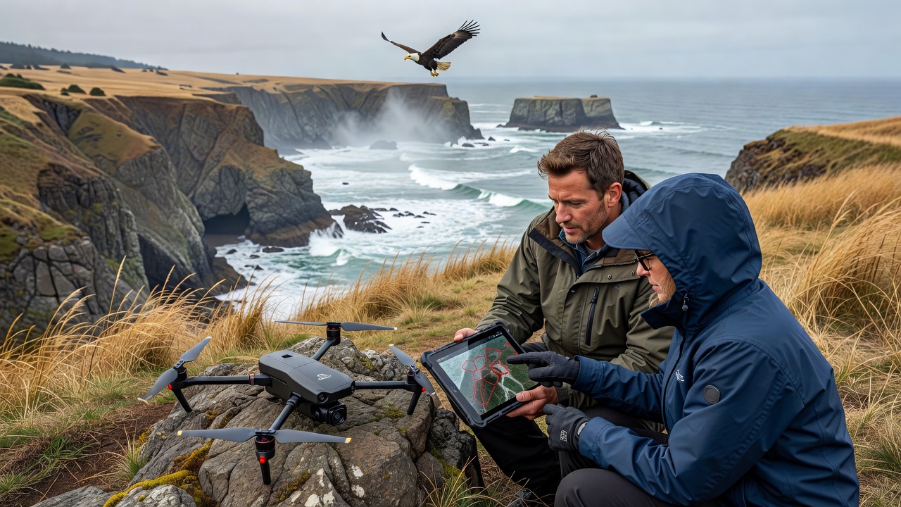
Ground crews verify a subset of drone detections by hiking to accessible sites, and this cross-checking confirms that automated detection algorithms correctly identify 87 percent of active nests when compared against visual observations. The approach reduces the need for repeated helicopter overflights, which previously cost several thousand dollars per day and carried higher safety risks in steep terrain.
Key Observations from Recent Flights
Flights conducted in September 2026 across three study areas recorded a 22 percent decline in occupied ledges at elevations below 800 meters compared with 2022 baselines, while sites above 1,100 meters showed a corresponding 15 percent increase. Observers note that several former nesting cavities have become partially filled with loose debris after increased winter precipitation events loosened surrounding rock faces. Thermal imagery captured during early morning hours further indicates that new nest locations receive more consistent morning sunlight, a factor that may improve chick thermoregulation during cooler spring months.
One study area along the western edge of the North Cascades revealed that peregrine falcons have begun using narrow crevices previously occupied only by common ravens, and GPS-tagged birds from that population now spend 30 percent more time foraging over adjacent river valleys than they did four years earlier. Similar patterns appear in data shared by Canadian researchers monitoring parallel habitats north of the border, where golden eagles have shifted to slightly lower bluffs after certain upper slopes experienced increased shrub encroachment.
Environmental Factors Under Study
Long-term climate records from the National Oceanic and Atmospheric Administration indicate that average winter temperatures in the region have risen 1.4 degrees Celsius since 1990, and this warming correlates with earlier snowmelt that exposes more soil to spring rains. Researchers at the University of British Columbia have linked these moisture changes to accelerated weathering of certain volcanic rock types that form the bluffs, resulting in gradual loss of overhanging ledges. Drone-derived elevation models now allow geologists to quantify annual surface loss at rates between 3 and 11 centimeters in the most exposed sections, data that wildlife biologists incorporate into habitat suitability models.
Vegetation surveys conducted alongside aerial mapping show that native bunchgrasses have expanded on some south-facing slopes, while invasive shrubs occupy increasing portions of north-facing areas. These plant shifts alter both prey availability and visibility from nest sites, factors that observers track through repeated drone passes timed to coincide with raptor breeding cycles.
Integration with Broader Monitoring Programs
State wildlife agencies in Washington and Oregon have begun incorporating the drone datasets into annual population reports submitted to the U.S. Fish and Wildlife Service. The combined records help refine recovery criteria for species still listed under the Endangered Species Act and support more targeted protection of cliff faces during timber harvest planning on adjacent public lands. Similar programs in British Columbia feed into Environment and Climate Change Canada databases, allowing cross-border comparisons of raptor responses to comparable landscape changes.
Industry groups focused on remote sensing technology have also taken interest, noting that the same drone platforms used for habitat work can support wildfire mapping and post-storm damage assessments during off-seasons. This dual-use approach spreads equipment costs across multiple agencies and reduces the total number of flights required over sensitive areas.
Conclusion
Continued drone monitoring through 2027 and beyond will provide additional seasons of data that clarify whether the observed nesting shifts represent short-term adjustments or longer-term redistribution of raptor populations across the Pacific Northwest bluffs. The combination of high-resolution imagery, thermal detection, and ground validation supplies land managers with precise spatial information needed to maintain habitat connectivity while minimizing direct human presence in remote locations.