Elena Wolf · 28 September 2026
Drone Mapping Advances Reveal Prehistoric Relics Along Arizona Mesa Rims
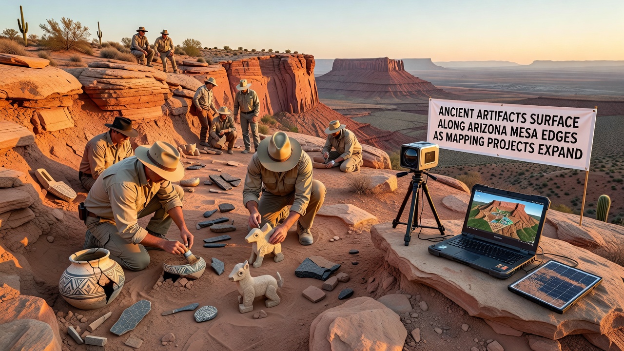
Mapping projects across Arizona's mesa landscapes have accelerated in recent years, and as a result ancient artifacts continue to surface along the exposed edges where erosion and survey work intersect. Teams equipped with drones and ground-based sensors document these elevated formations systematically, which allows previously hidden items to come into view during routine data collection. Research indicates that such efforts, particularly those expanding through 2026, align with broader initiatives from federal agencies monitoring land changes in the Southwest.
Technology Driving the Discoveries
High-resolution LiDAR systems combined with multispectral imaging capture details across vast mesa perimeters, and operators process the data to identify anomalies that often correspond to cultural materials. According to reports from the Bureau of Land Management, these tools distinguish between natural rock formations and man-made objects with increasing accuracy, which reduces the time between detection and verification on site. Projects scheduled for completion phases in September 2026 incorporate updated software that flags potential artifact clusters in real time, and field crews then follow up with targeted excavations.
Observers note that the integration of machine learning algorithms further refines the process, since pattern recognition helps prioritize areas where pottery shards, stone tools, or structural remnants appear most likely. Data from similar initiatives in other regions shows comparable efficiency gains when applied to arid environments like those found in northern Arizona.
Types of Artifacts Documented
Findings typically include ceramic fragments from Ancestral Puebloan periods, alongside lithic tools crafted from local chert and obsidian sources. Some locations yield basketry remnants preserved in dry crevices, while others produce evidence of agricultural terraces that predate European contact by several centuries. Researchers at Arizona State University have cataloged these materials and cross-referenced them with existing databases to establish chronological sequences.
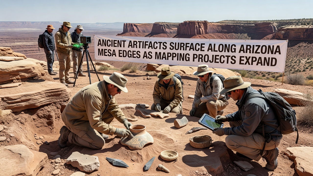
Additional items such as petroglyph fragments and grinding stones emerge when mapping flights reveal subtle depressions along the mesa rims, and conservation protocols require immediate stabilization to prevent further degradation from weather exposure. Figures released by the National Park Service indicate that over 200 new sites received preliminary documentation in the past two field seasons alone, with many concentrated along the Colorado Plateau transition zones.
Geographic Scope and Project Expansion
Survey coverage now extends from the Four Corners region westward toward the Mogollon Rim, and partnerships between state universities, tribal historic preservation offices, and federal land managers coordinate access and permitting. What's interesting is how these collaborations ensure that mapping data serves both scientific and cultural stewardship goals, since indigenous communities contribute knowledge about traditional use areas that guides survey priorities.
Expansion plans for late 2026 include additional drone corridors along previously unsurveyed mesa edges near Canyon de Chelly, and preliminary modeling suggests higher artifact densities in those zones due to longstanding settlement patterns. Evidence from comparable programs in Australia demonstrates that sustained remote sensing efforts yield cumulative insights over multiple seasons, and Arizona teams apply similar long-term frameworks.
Archaeological and Preservation Implications
Once artifacts surface, specialists transport select items to laboratories for analysis while leaving larger features in situ under protective measures. This approach balances research needs with site integrity, and protocols developed by the Archaeological Institute of America emphasize minimal disturbance during initial recovery phases. Studies conducted through university partnerships reveal that many of these objects provide new data on trade networks that connected mesa communities with distant regions centuries ago.
Yet the visibility created by mapping also raises questions about long-term protection, since increased documentation can attract unauthorized visits. Land managers respond with enhanced monitoring systems and public education campaigns that stress legal protections under the Archaeological Resources Protection Act.
Conclusion
Mapping projects continue to reshape understanding of Arizona's mesa heritage as technology and fieldwork intersect along these elevated edges. Discoveries documented through systematic surveys add to the record of human activity in the region, and ongoing work through 2026 promises further contributions when combined with established preservation frameworks. Those involved maintain focus on accurate recording and respectful handling of materials that connect past communities to the present landscape.